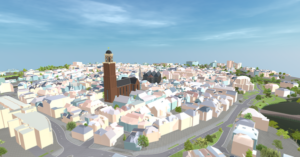
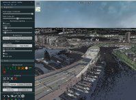
blog GIS-data in game engines: introductie Als je deze blogpost leest, ben je waarschijnlijk bekend met viewers zoals Mapbox, ArcGIS of Cesium, maar weet je ook dat het inladen van GIS-data in game engines in opkomst
blog Boomregister editor Online interactief wijzigen en terugmelden Voor grote geografische datasets Terugmeldingen bij grote datasets Grotere datasets zoals het bomenregister worden meestal samengesteld volgens verschillende procedures en uit verschillende bronnen. Hierbij kunnen
blog Measuring traffic congestion: a better way While investigating traffic congestion around the Johan Cruijff Arena (JCA) in Amsterdam, I naively thought that a low recorded traffic speed or flow were signs of congestion in a particular
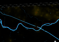
blog Fietsen in 2020 Op de website van het NDW kan je van een paar plekken in Nederland recente fiets-tellingen downloaden [https://dexter.ndwcloud.nu/opendata/bicycle/]. Van een zo'n plek (een
demo Digging through subsurface infrastructure Short demonstration on digging digitally through the subsurface of the Netherlands, showing all the cables and pipes and the lithology of the first 50 meters.
demo Geomagine Lemmer 360° This Geomagine 360 video is a virtual experience of a redevelopment scenario in the municipality of De Fryske Marren, The Netherlands. The current and future situation of a certain street
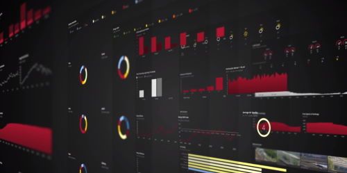
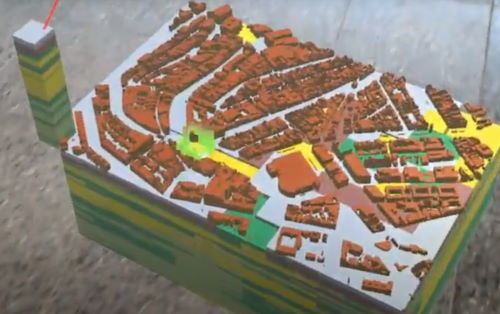
demo Amsterdam Smart City Dashboard Video showing the Amsterdam Smart City Dashboard. This dashboard offers views of the Digital Twin of Amsterdam on three themes: mobility, energy and environment.
demo Real Time Map of Amsterdam public transportation Real-time map of Amsterdam public transportation, showing car, bus, tram, train, metro, ferries and delays Open in browser [http://saturnus.geodan.nl/mapbox-viewer/adamov.html]
demo Custom 3D-Tiles layer in mapbox-gl Custom mapbox-gl layer for 3d vector tiles (gltf, b3dm) of Rotterdam area Open in browser [http://saturnus.geodan.nl/mapbox-viewer/mapbox-3dtiles/#14.3/51.90217/4.48732/0/45]
demo Aalsmeer, Maximastraat, Noise load visualized Visualization of modelled noise spread and reflection intensities in Maximastraat, city of Aalsmeer, NL
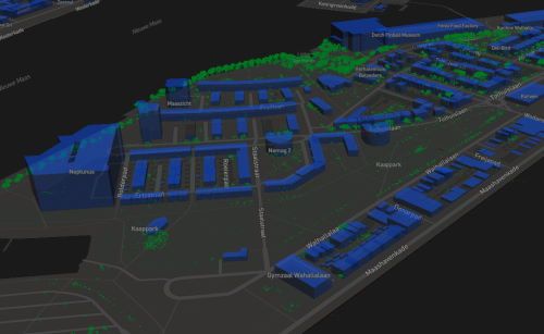
demo RGBZ pointcloud Amsterdam High resolution AHN3 3D RGB pointcloud viewer for Amsterdam Open in browser [https://saturnus.geodan.nl/tomt/potree_amsterdam]
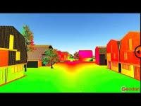
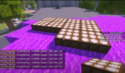
demo Ecocraft Ecocraft is a computer game, as well as an educational tool, as well as a citizen participation tool, developed for joint creation of sustainable urban spaces. The virtual environment of
demo Hololens Geotop visualization This HoloLens augmented reality app visualizes the Geotop (soil layers) underneath the city centre of Amsterdam. The user can interact with this model to see the ground layers and drillings
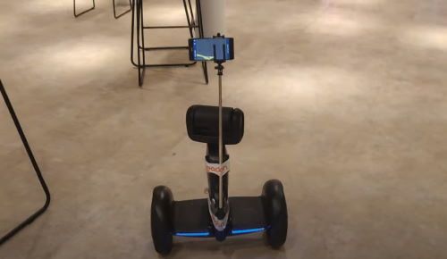
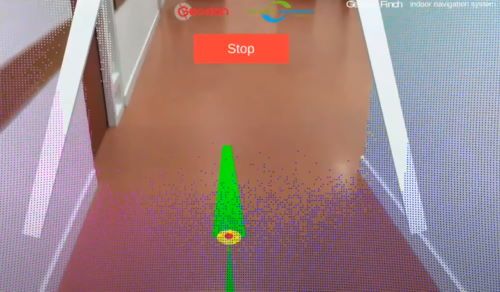
demo Loomo robot follows visually learned path Loomo robot follows visually learned path using modified app (Finch) for visually impaired people
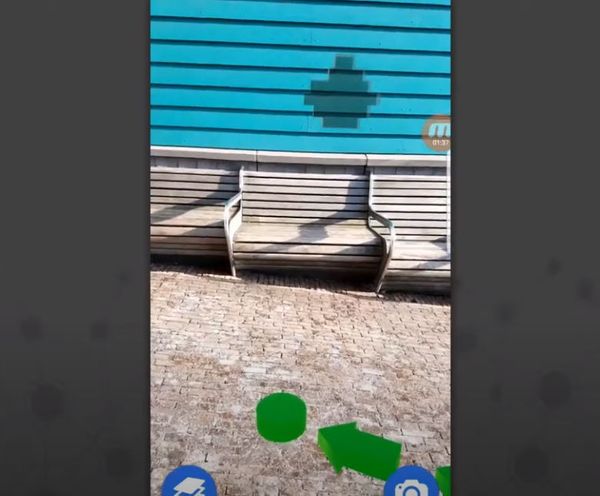
demo GeodanGo AR Experience This Android app shows the great potential of augmented reality (AR) applications. It features AR point of interests, customizable walls and see-through walls, as well as indoor and outdoor AR
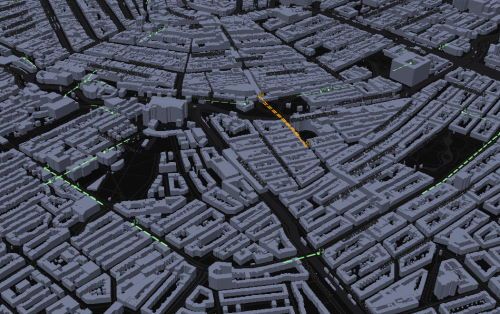
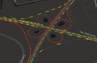
demo Real-time animated NDW traffic data The NDW (Nationale Databank Wegverkeergegevens / Netherlands data warehouse for traffic information) allows access to current traffic speed and traffic intensity from many measuring points (weglussen). For this demo, traffic flow
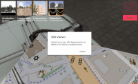
demo 360 degree interactive content viewer for video, photo and streams Open in browser [https://research.geodan.nl/sites/360Viewer/]
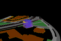
demo Basisregistratie Ondergrond in 3D Basisregistratie Ondergrond in 3D Open in browser [http://saturnus.geodan.nl/frans/bro/lekdijk_geotop.xhtml]
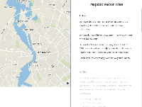
demo Mapbox Vector Tiles Story map explaining some virtues of vector tiles Open in browser [https://research.geodan.nl/sites/demos/mbstorymap/]
demo Geodan BIM in X3D Geodan building based on BIM model represented in X3D Open in browser [https://research.geodan.nl/sites/demos/geodangebouw_bgt/]
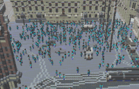
demo Geocraft Crowd Simulation Geocraft model with basic Crowd Simulation Open in browser [https://research.geodan.nl/sites/GeodanAI/CrowdSim/]
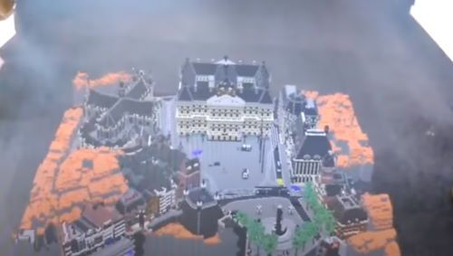
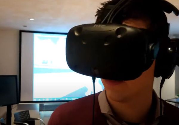
demo Geocause with HTC vive The HTC vive allows the user to walk through Gorinchem in 2040, through Geocause